
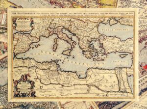
Mediterranean (N-68)
€15,92William Berry, London 1685. The Mediterranean Sea is divided into eastern and western seas.
It comes with a cardboard sleeve that is included in the price on the web shop.
Showing 31–39 of 39 results
William Berry, London 1685. The Mediterranean Sea is divided into eastern and western seas.
It comes with a cardboard sleeve that is included in the price on the web shop.
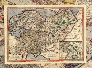
Map of Russia, Gerard Mercator, Amsterdam 1620.
It comes with a cardboard sleeve that is included in the price on the web shop.
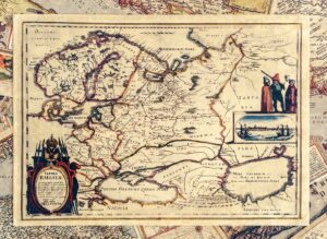
Map of Russia, Matthaus Merian, Frankfurt 1640.
It comes with a cardboard sleeve that is included in the price on the web shop.
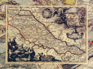
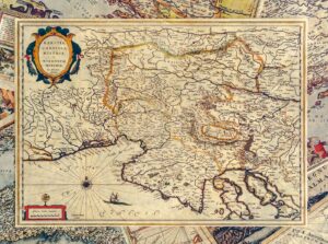
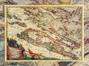
Slavonia; Published: Vienna 1737; Author: Johann Van Der Bruggen
A replica of the old ticket comes with a cardboard sleeve that is included in the price on the web shop.
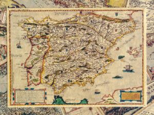
Map of Spain issued 1560-1600, by Paolo di Fornali Veronese.
A replica of the old ticket comes with a cardboard sleeve that is included in the price on the web shop.
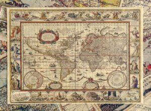
WORLD MAP; Published: Amsterdam, 1635; Author: Joan Blaeu.
A replica of the old ticket comes with a cardboard sleeve that is included in the price on the web shop.
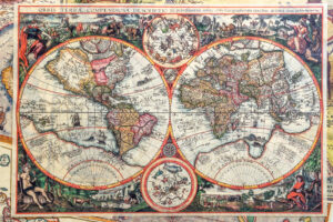
Joannes Baptista, Antwerp, 1596. The second oldest printed map of the world.
A replica of the old ticket comes with a cardboard sleeve that is included in the price on the web shop.
No products in the cart.